The office’s operation area is located in the southwest district of southern Taiwan. The irrigation area covers 25 administrative districts in Kaohsiung City and is divided into 3 irrigation areas: Caogong Irrigation District, Gangshan Irrigation District, and Qishan Irrigation District. The irrigation area is currently 20,367 hectares.
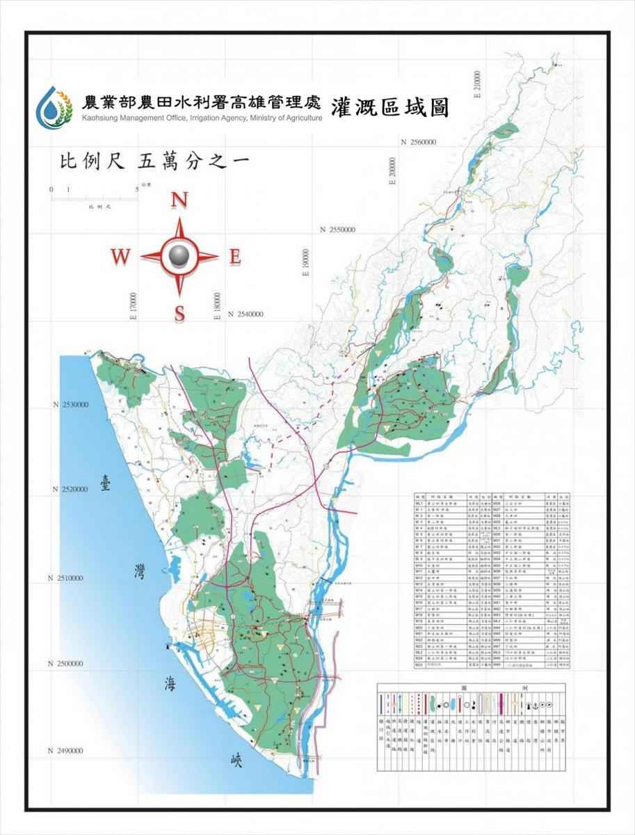
The rivers within this irrigation district include the Gaoping River, Houjing River, Love River, Qianzhen River, and other river systems, with the primary river being the Gaoping River, a Class I river, which is the largest and most renowned. The lakes in this area include Chengqing Lake, Lotus Pond, Jinshi Lake, Congzilin Pond, Governor Pond (Guanyin Lake), and Caigong Pond, among others. Chengqing Lake (also known as Dabe Lake) and Lotus Pond are the most famous. The Gaoping River serves as the main irrigation water source, with water intake at Jiuqutang. Through the Caogong Canal, water is diverted to irrigate over 6,500 hectares of farmland in this district.
The rivers within this irrigation district include the Erren River, Shengfanlai River (Tuku Drainage), Agongdian River, Zhuzigang River, Dianbao River, Wulilin River, and other river basins. The primary irrigation water sources include the Erren River, Agongdian Reservoir, Shengfanlai River, and Dianbao River, with the Erren River and Agongdian Reservoir being the main sources of irrigation water.
The irrigation district encompasses several major river systems, including the Laonong River (formerly known as Ligang River), Meinong River, and Qishan River (formerly known as Nanzixian River). The area's irrigation network comprises various canals, notably the Qishan Canal, Zhongzunpi Canal, Bangfukeng Canal, Xianrenshui Canal, and Shizitou Canal. Among these, the Shizitou Canal is the most renowned. This canal was established in 1908 by the Japanese as a government-managed canal, and in 1924, the public Zhongzunpi Canal was merged into it. The primary irrigation water source is the Laonong River, followed by the Qishan River, while drainage mainly relies on the Qishan River. Both rivers originate from the southern slopes of Yushan and flow from the northeast to the southwest, converging at Lingkou in Qishan to form the Gaoping River (also known as the Xiadanshui River).
- Maximum Pumping Capacity: 21 cubic meters/second
- Normal Pumping Capacity: 8 cubic meters/second
- Lift: 6-8.8 meters
- Motors: 5 units of 250 horsepower, 5 units of 300 horsepower
- Pumps: 5 diagonal (mixed) flow pumps with a diameter of 800 mm
5 axial flow pumps with a diameter of 1,200 mm - Planned Irrigated Area: 4,458.49 hectares
The Kaohsiung area is industrially and commercially developed, with many factories and a dense population. The continuous discharge of sewage into channels at all levels in the area harms the natural ecology, crop cultivation and production. This situation is particularly severe in the Houjin River and Agongdian River systems.
To this end, the office formulated the "Monitoring Plan to Strengthen Agricultural Water Pollution Prevention and Control" to standardize the quality of irrigation water, and establish information on drainage accounts. It also established a general monitoring station, 16 monitoring stations, and 118 monitoring points to inspect the quality of irrigation water. There are 115 drainage accounts, and they cooperate with relevant agencies on pollution prevention and control work.